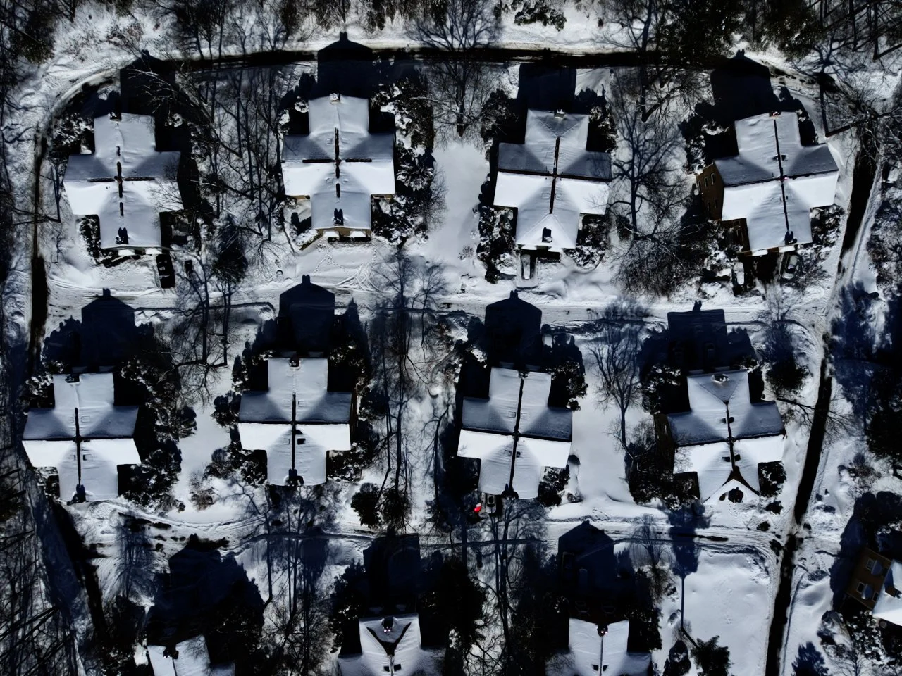
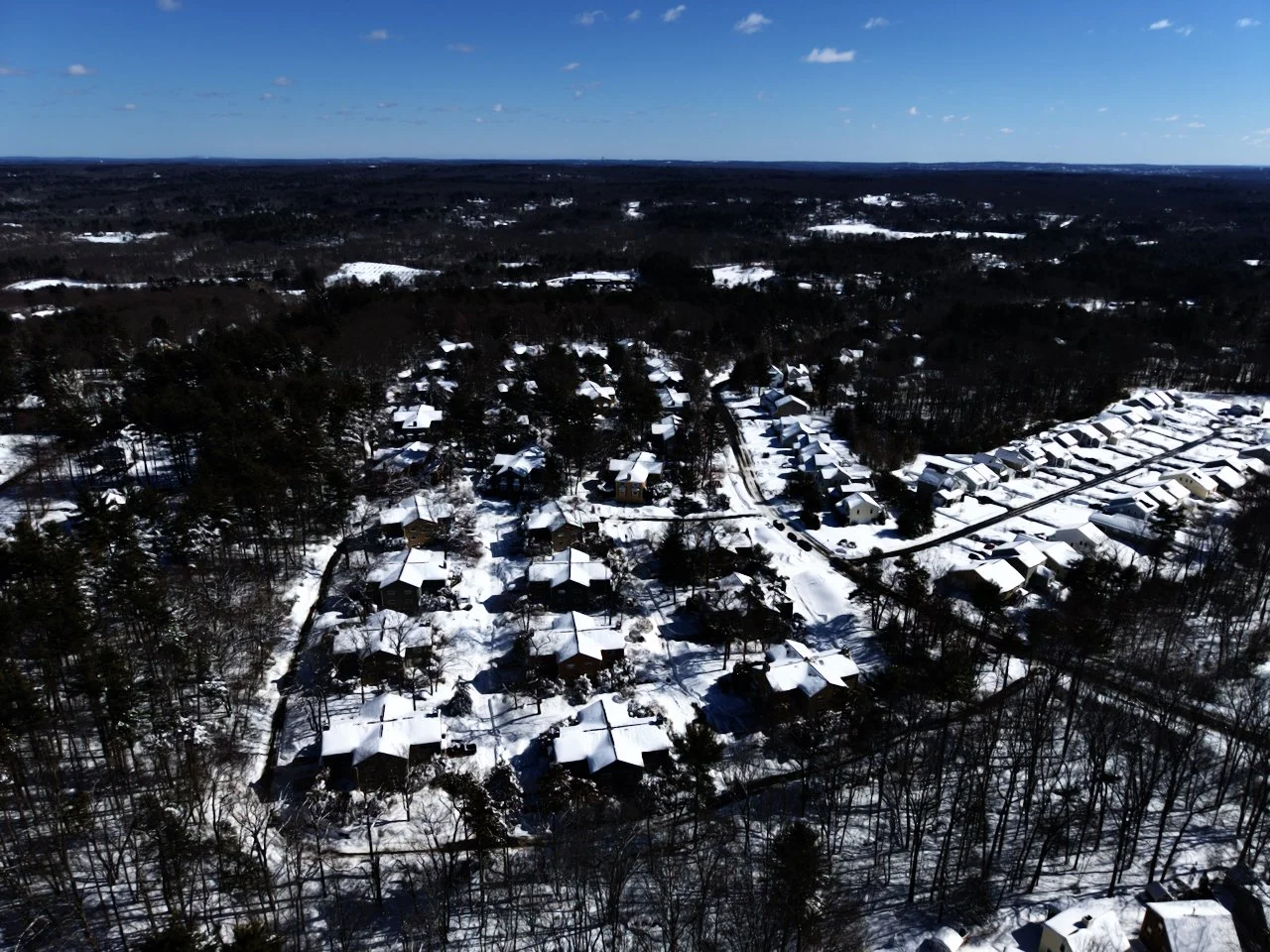
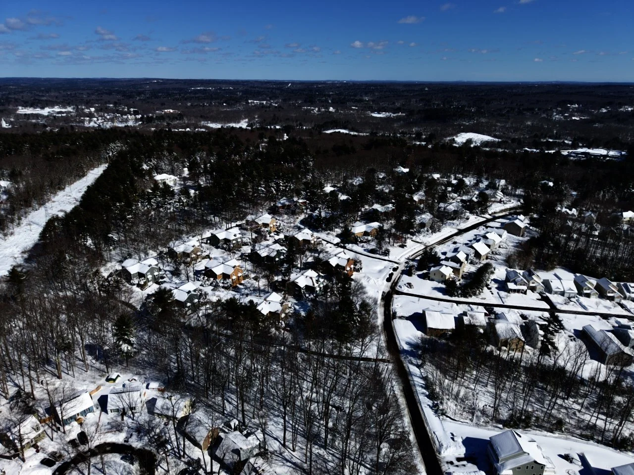
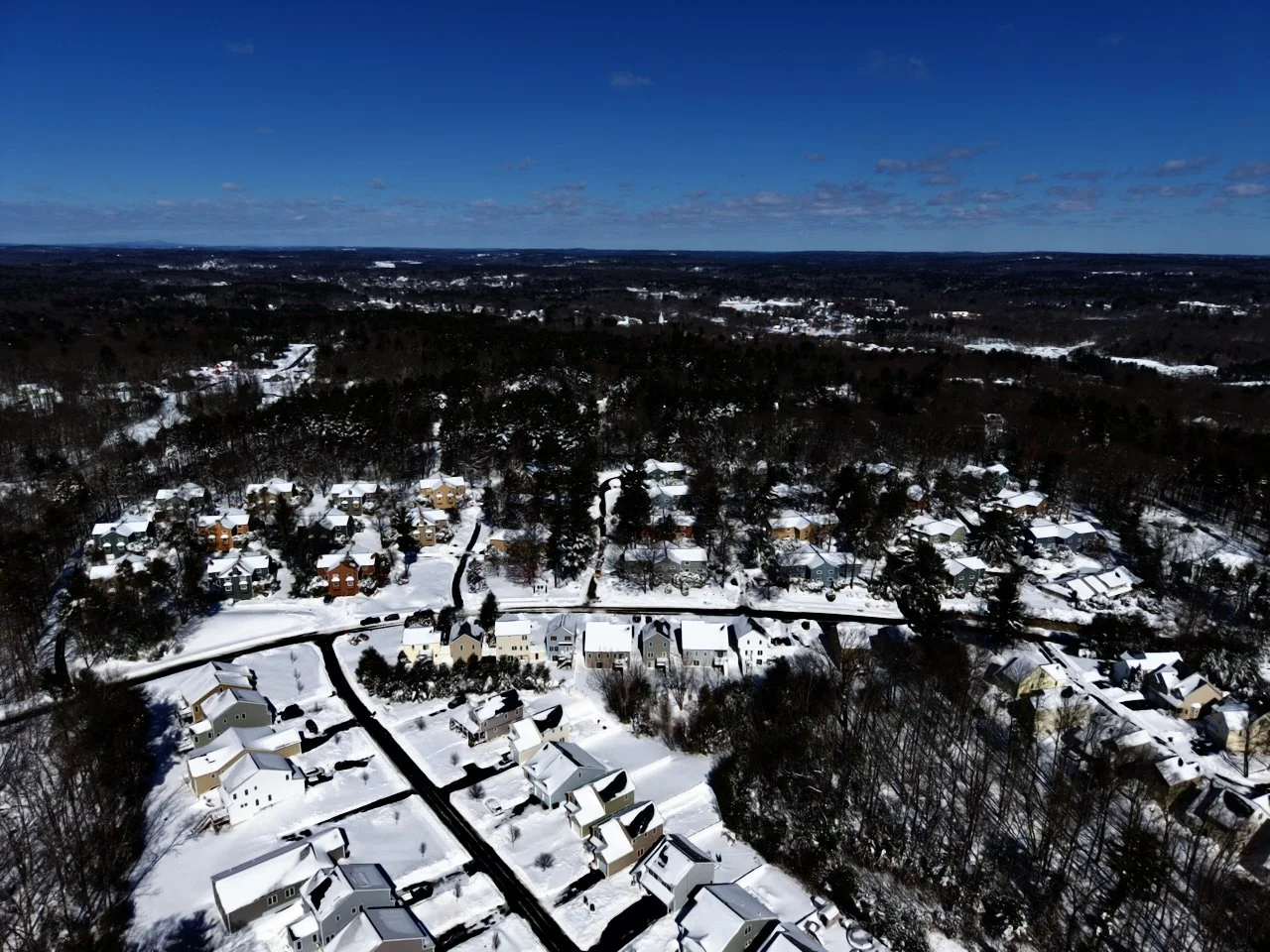
Rise Above Ordinary
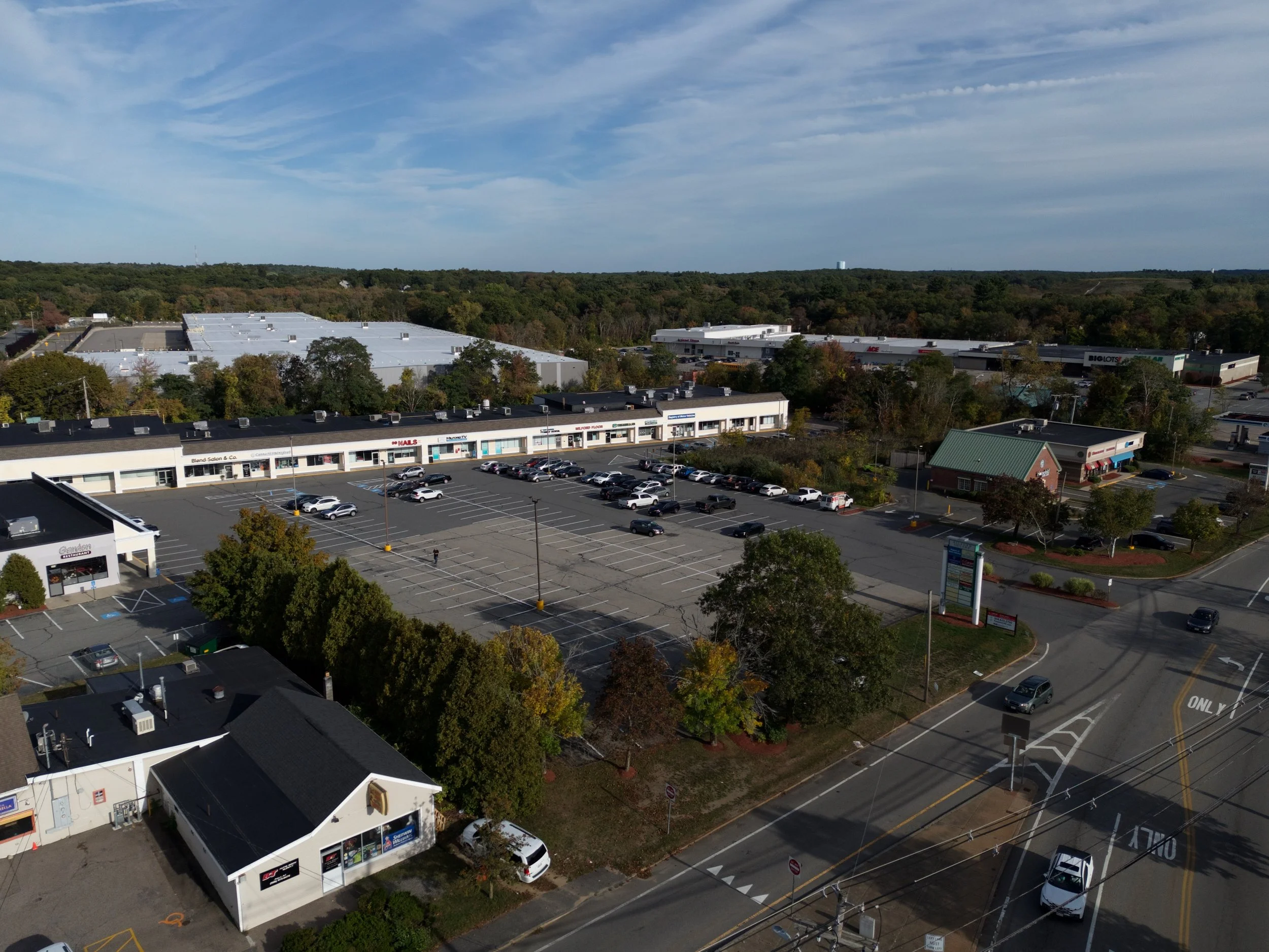
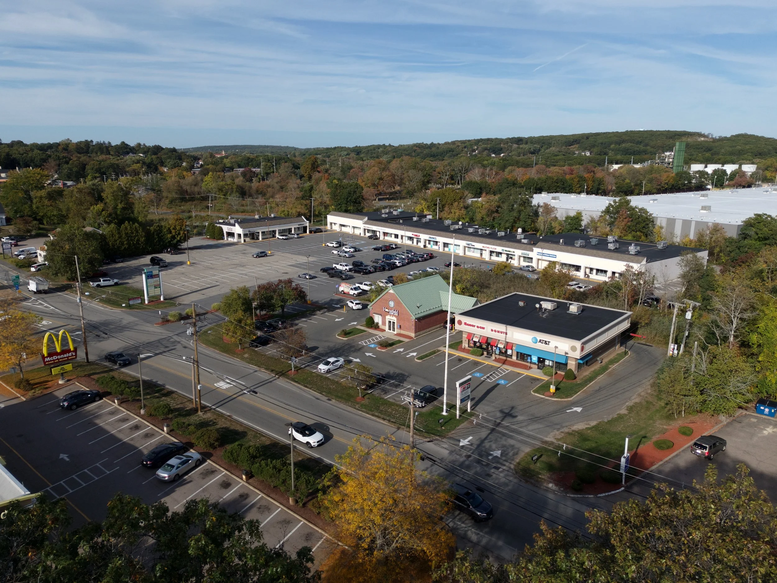
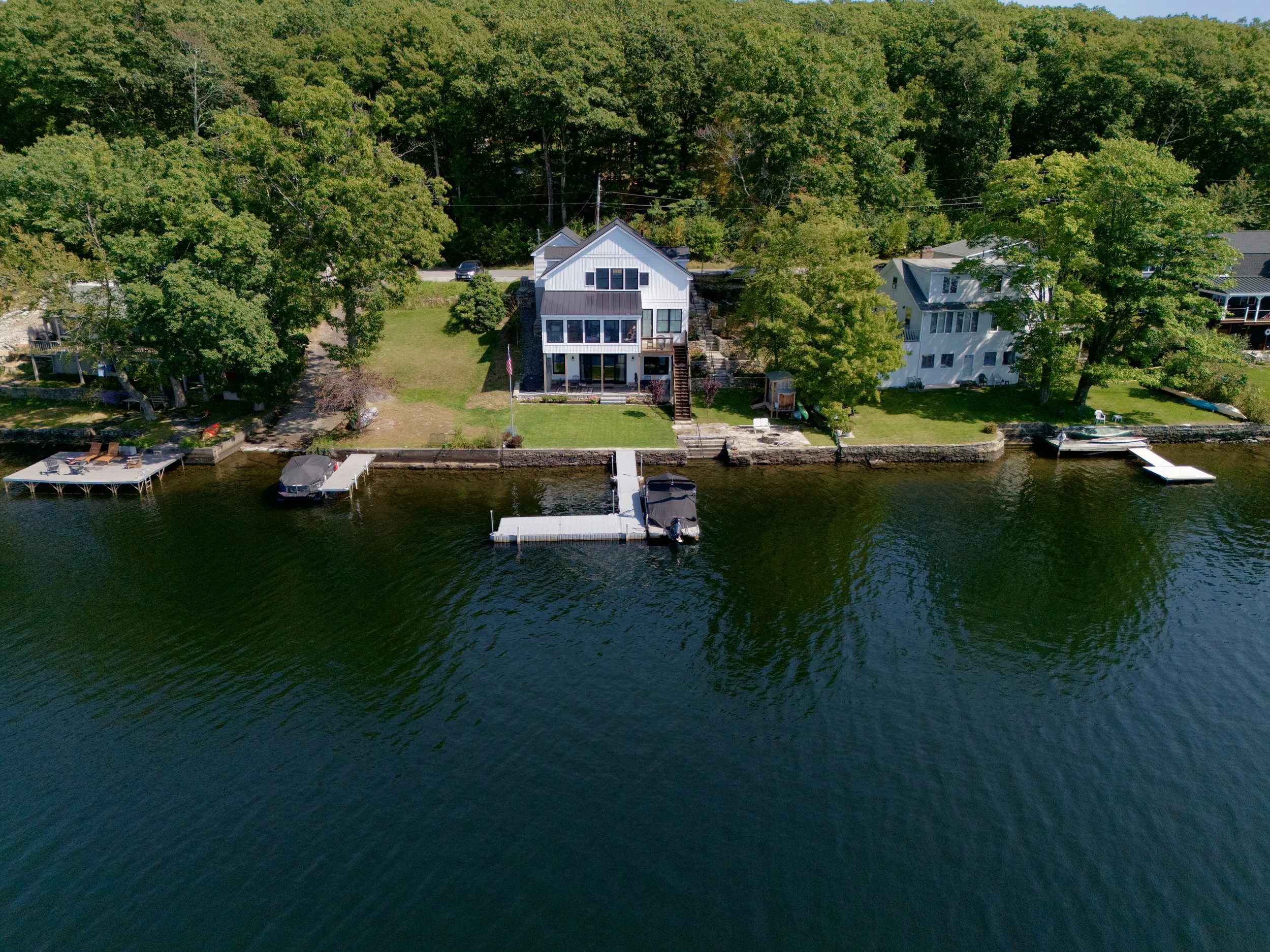
Let us bring the creativity to higher levels. Whether it’s covering an event, a real estate shoot or marketing a business, we’ll capture that stunning perspective unattainable from traditional photography.
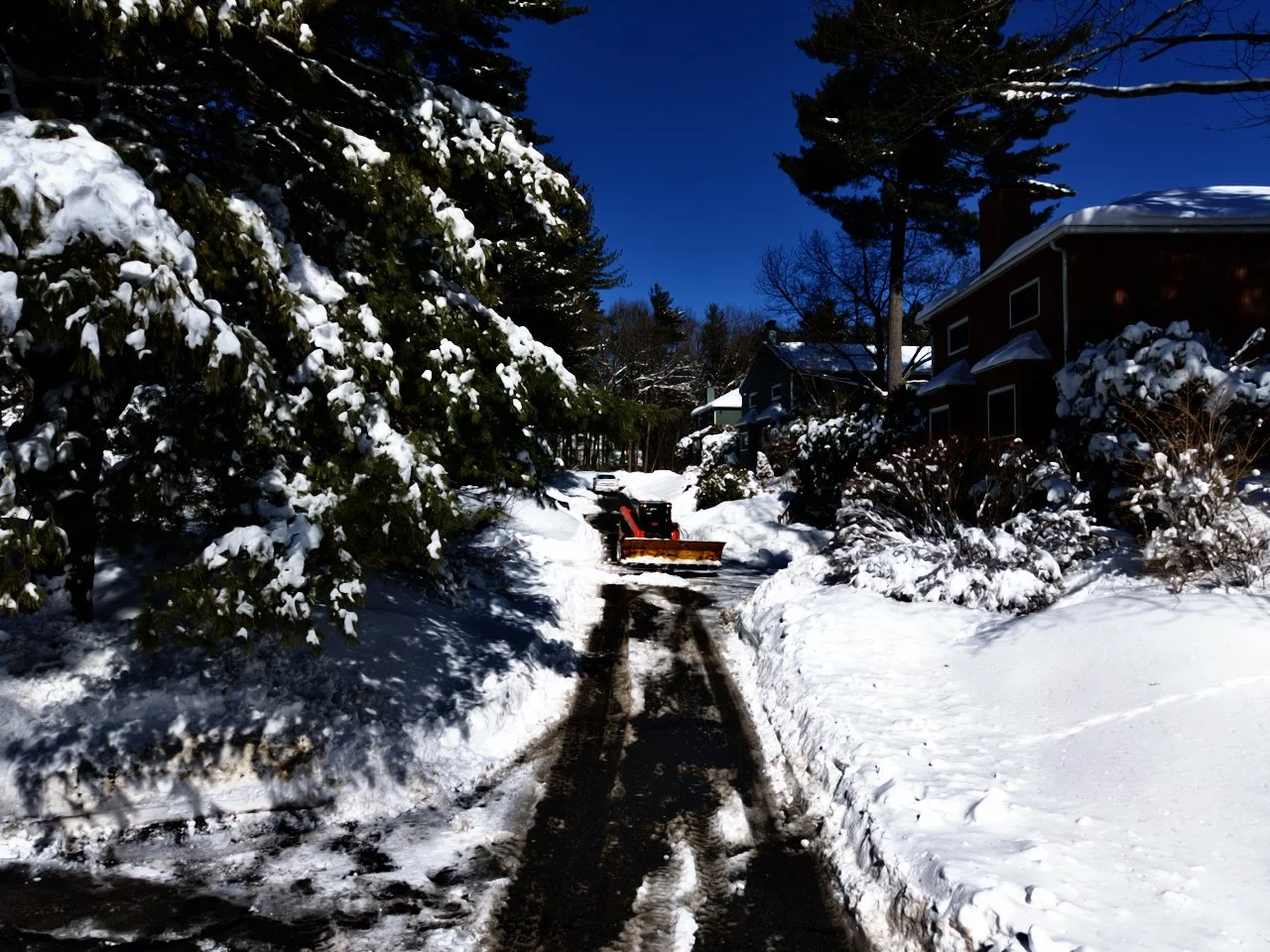
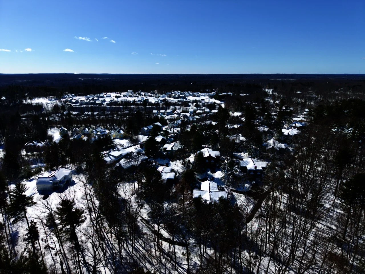
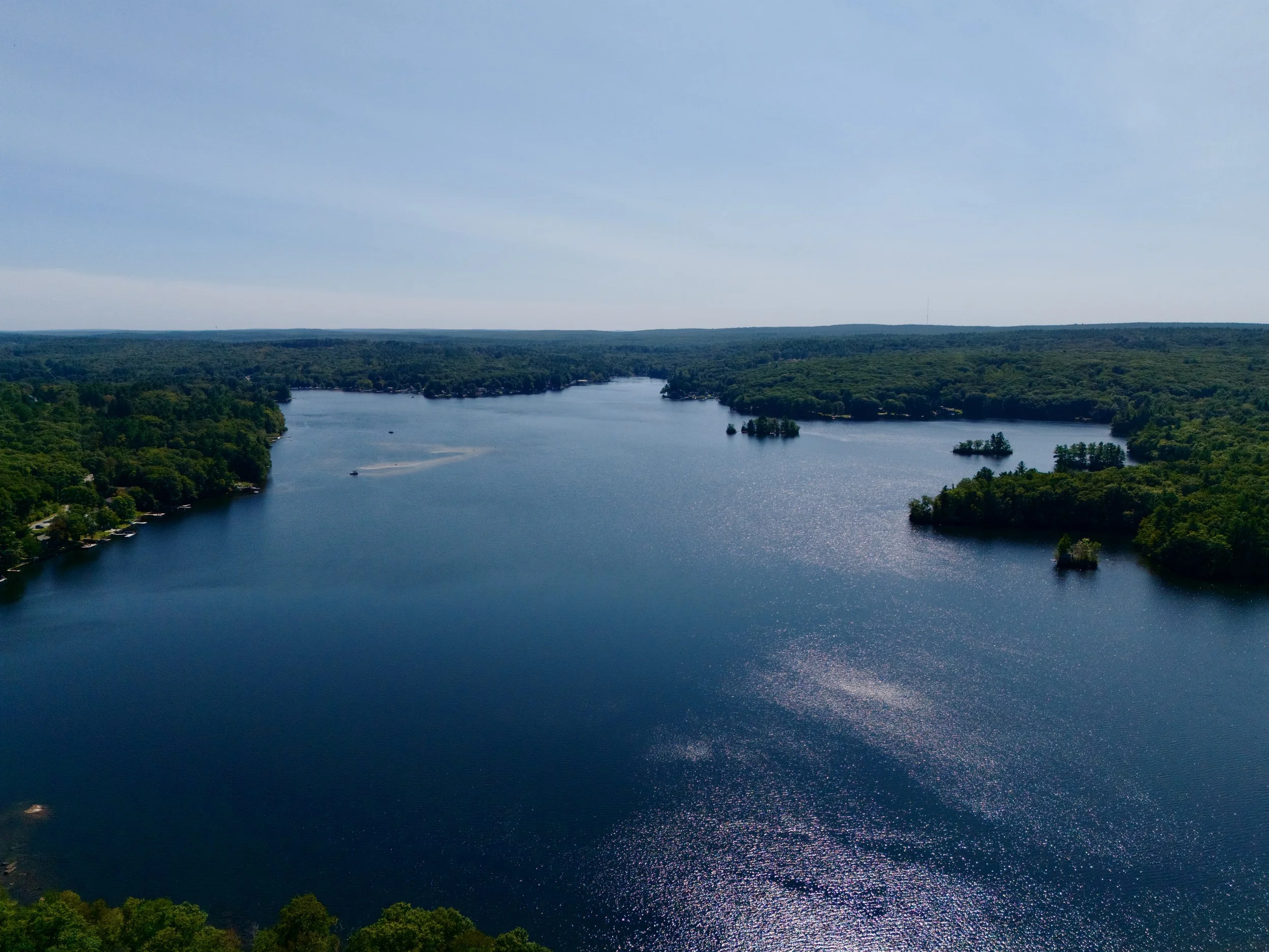
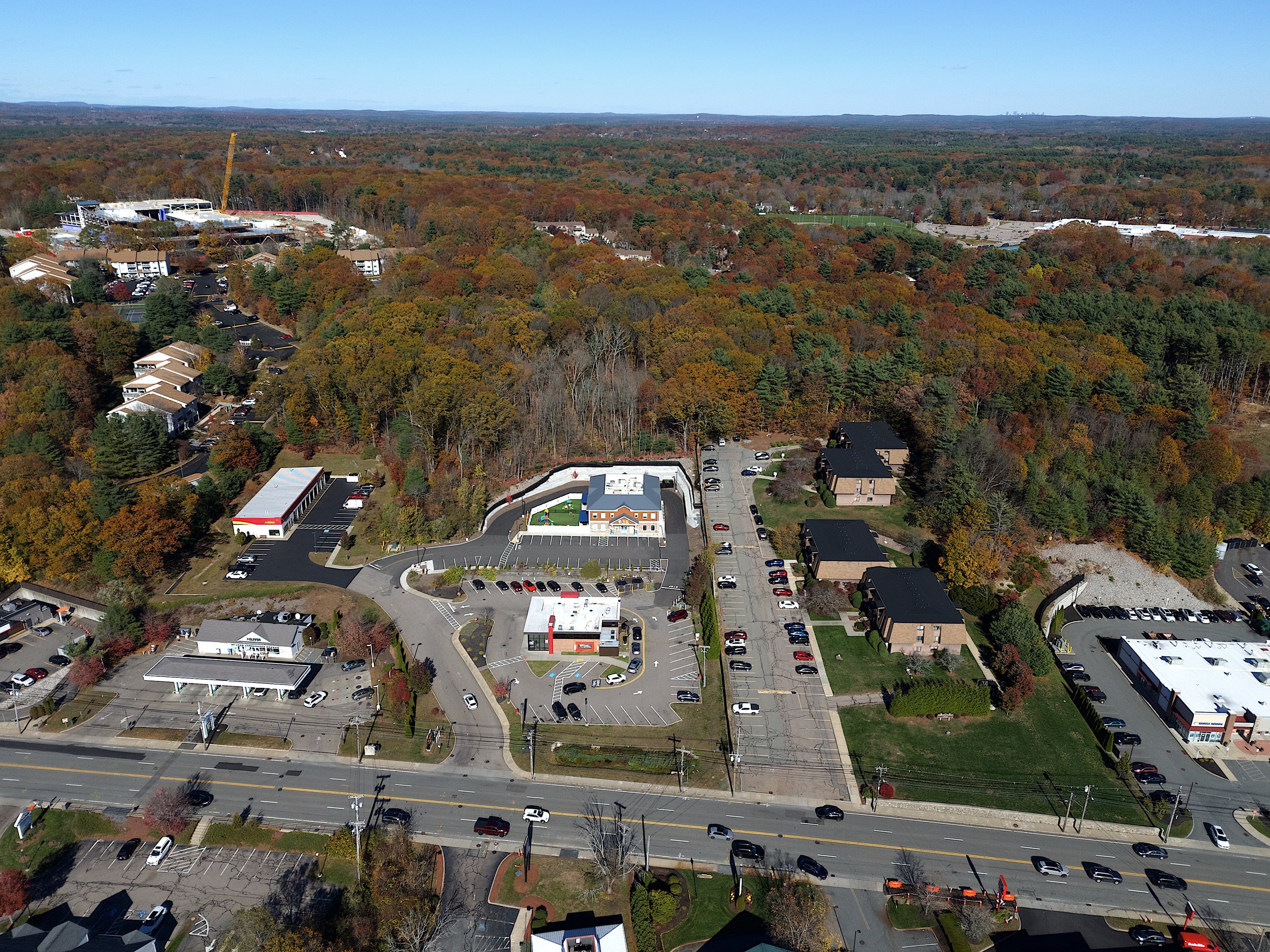
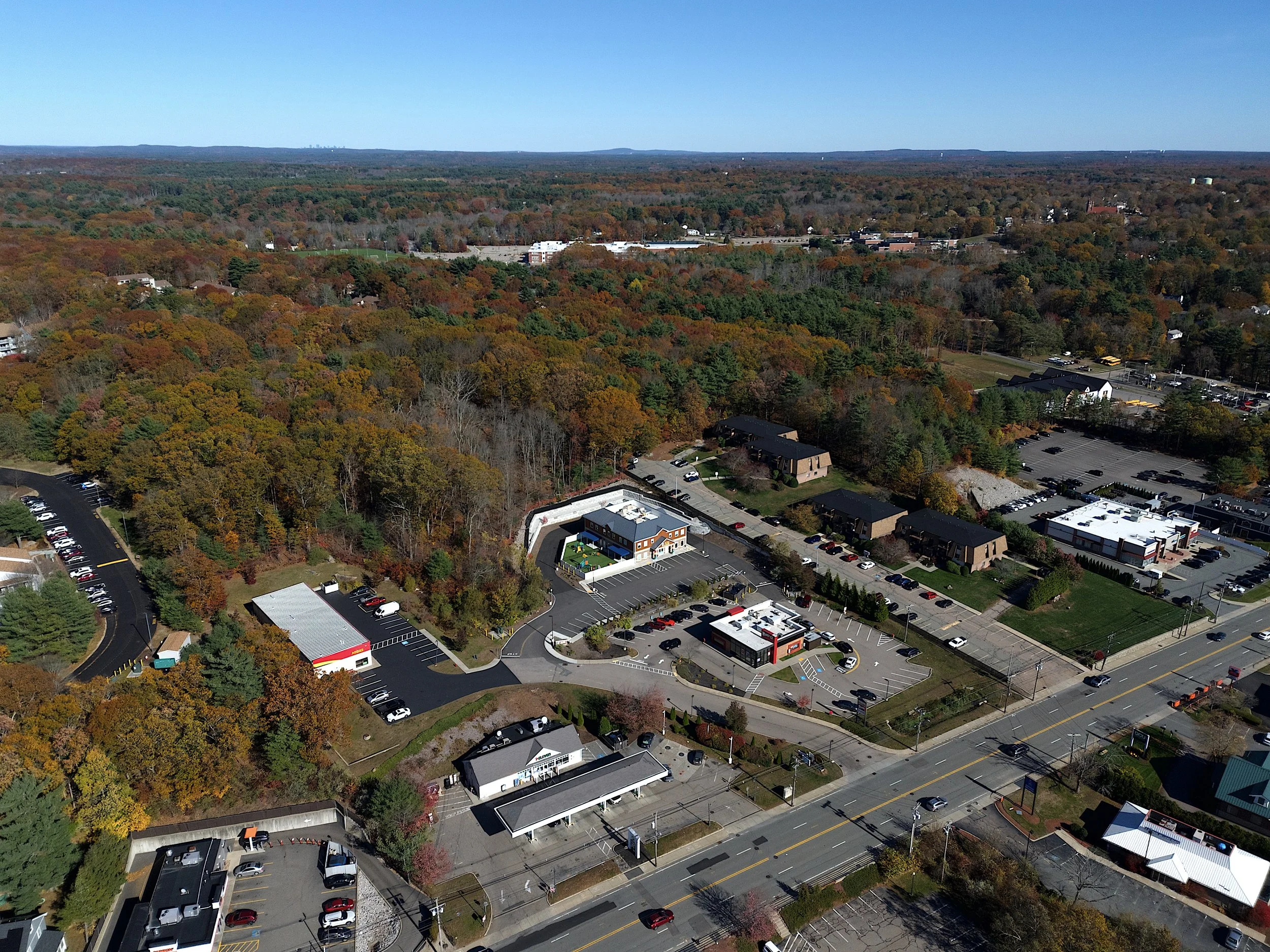
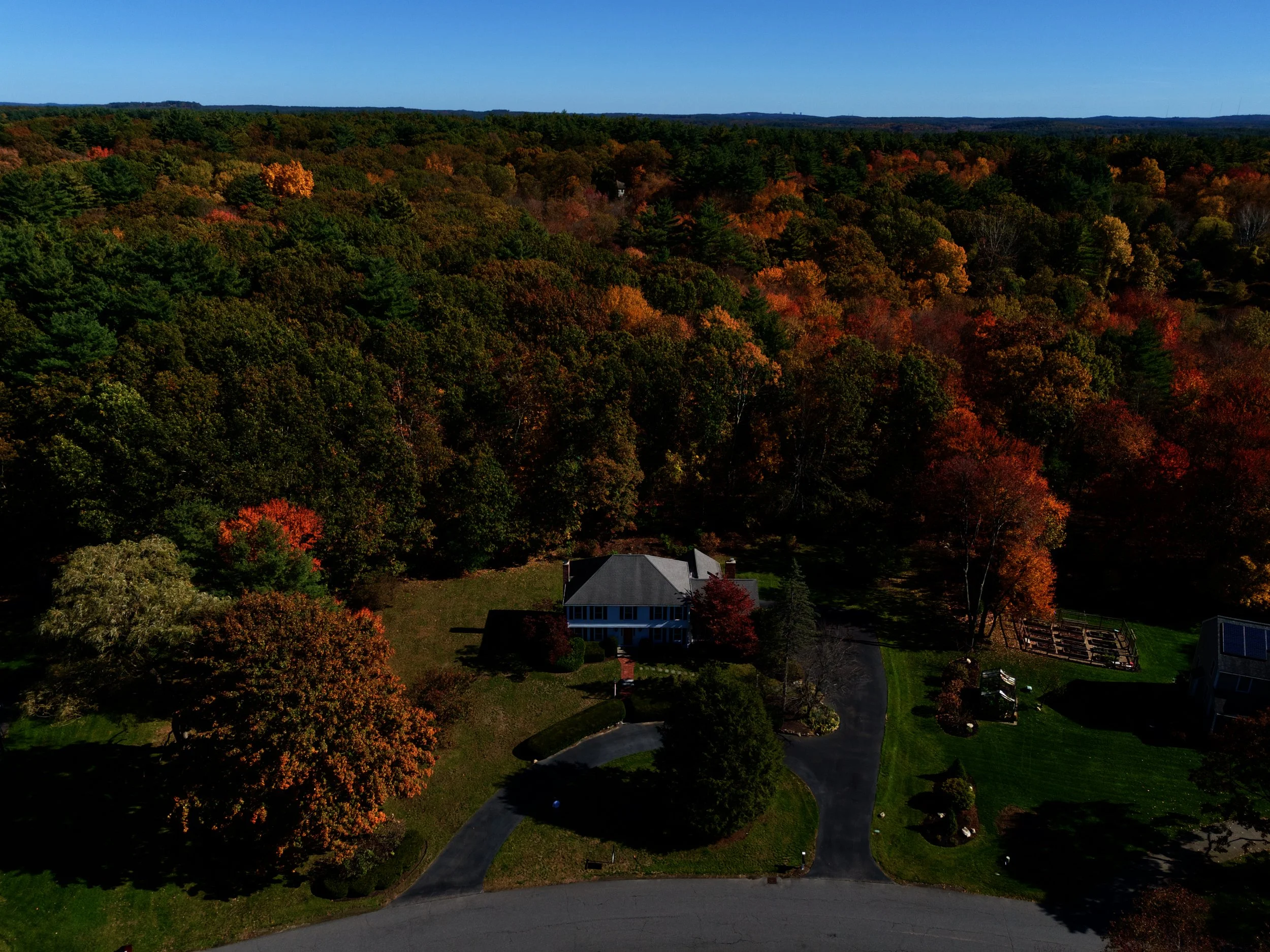
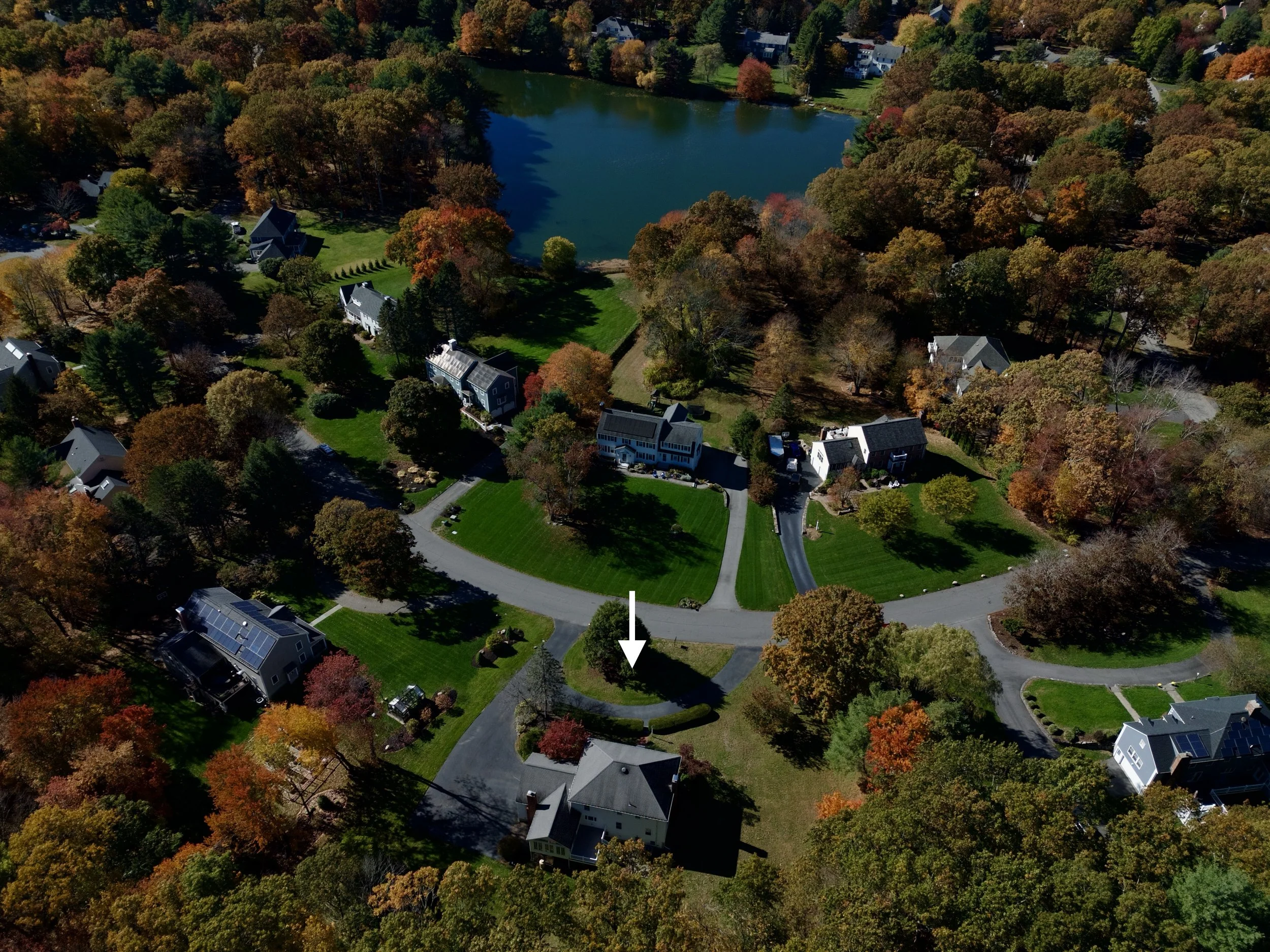
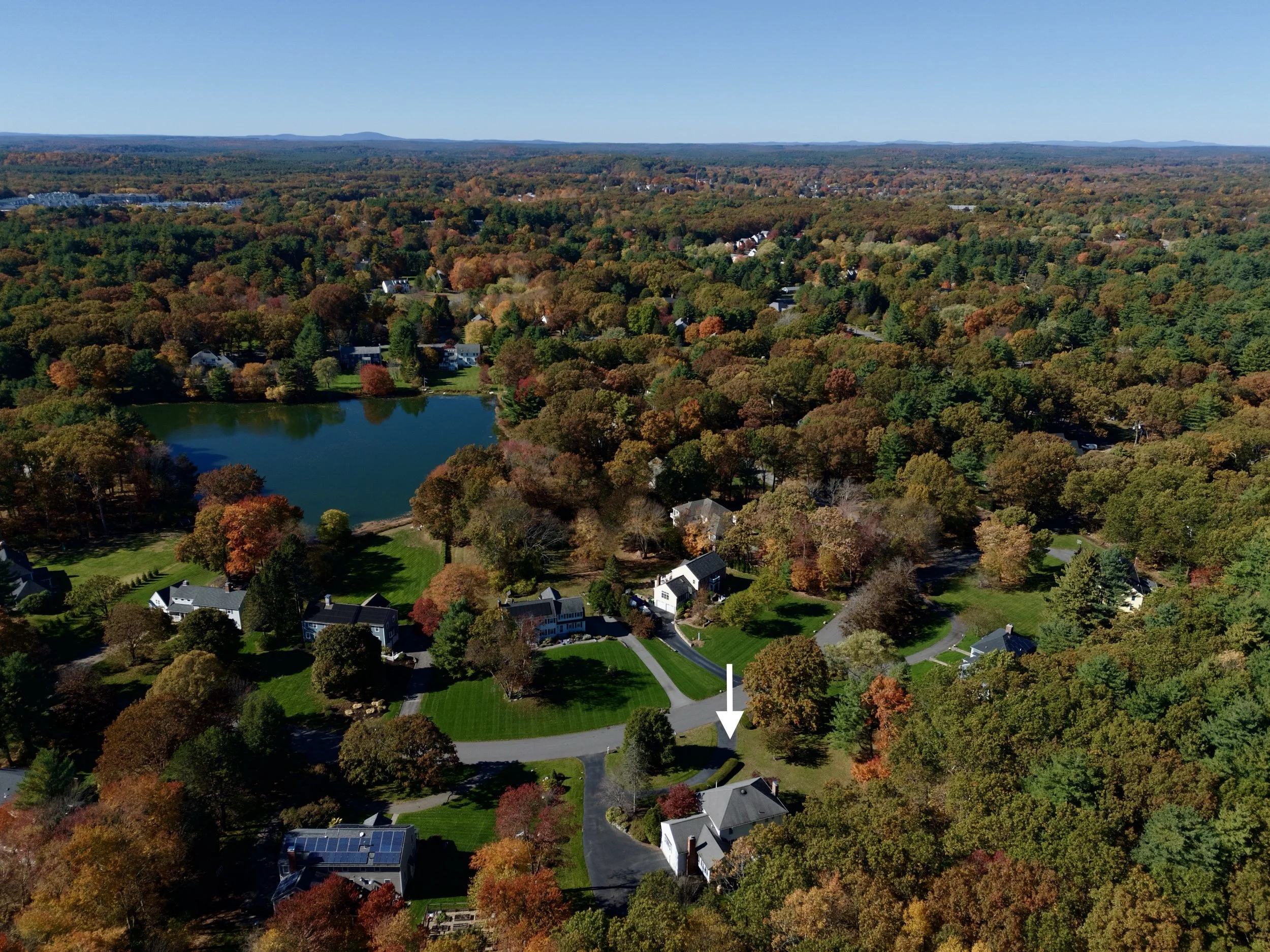
Explore the world of aerial drone photography and uncover breathtaking perspectives of landscapes and architecture with creative photos and videos.
Call us today! 401-692-0089
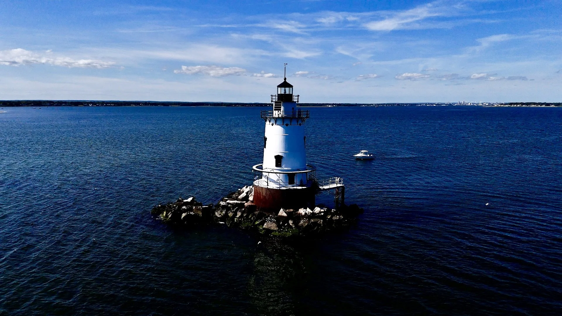
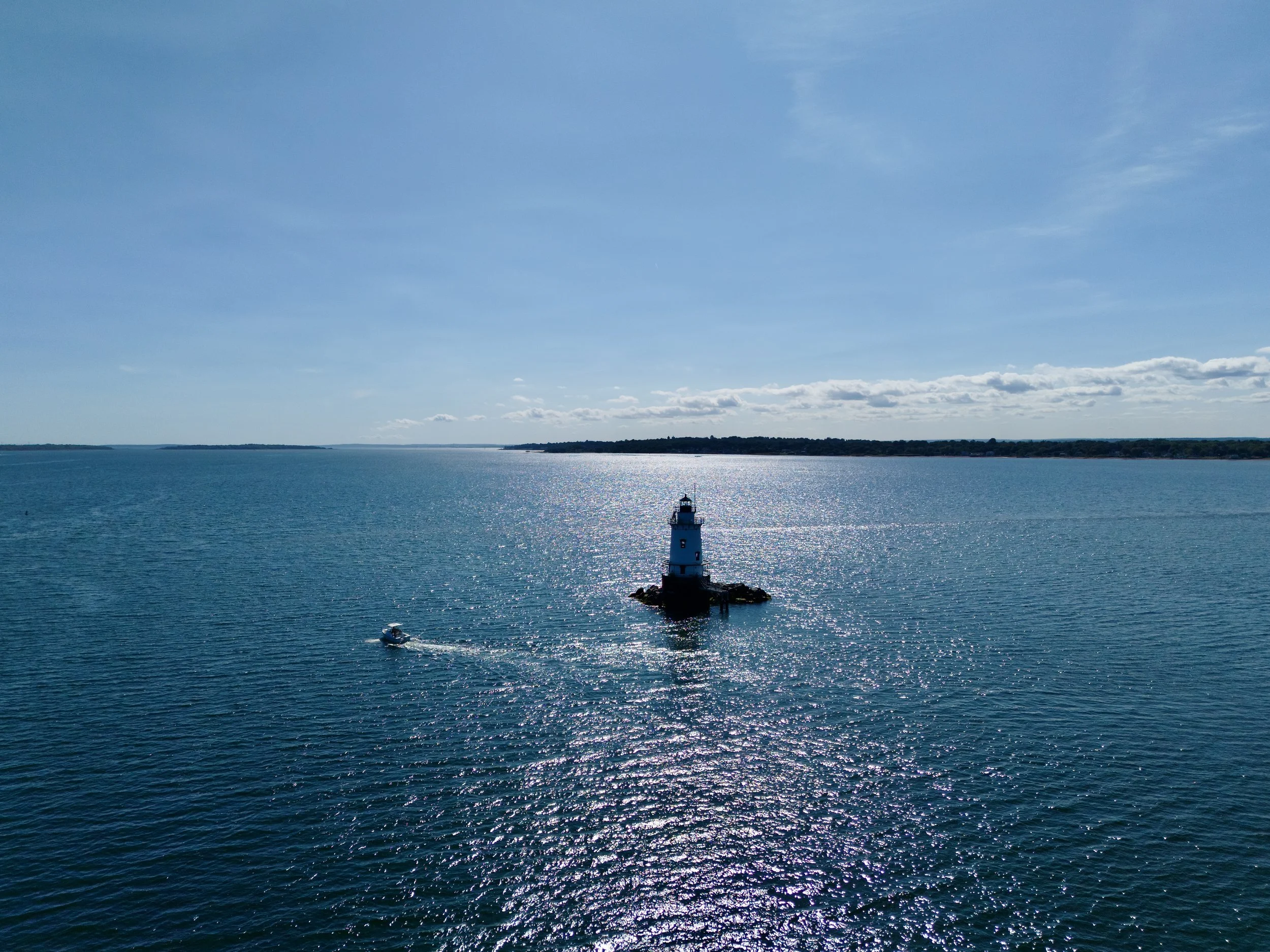
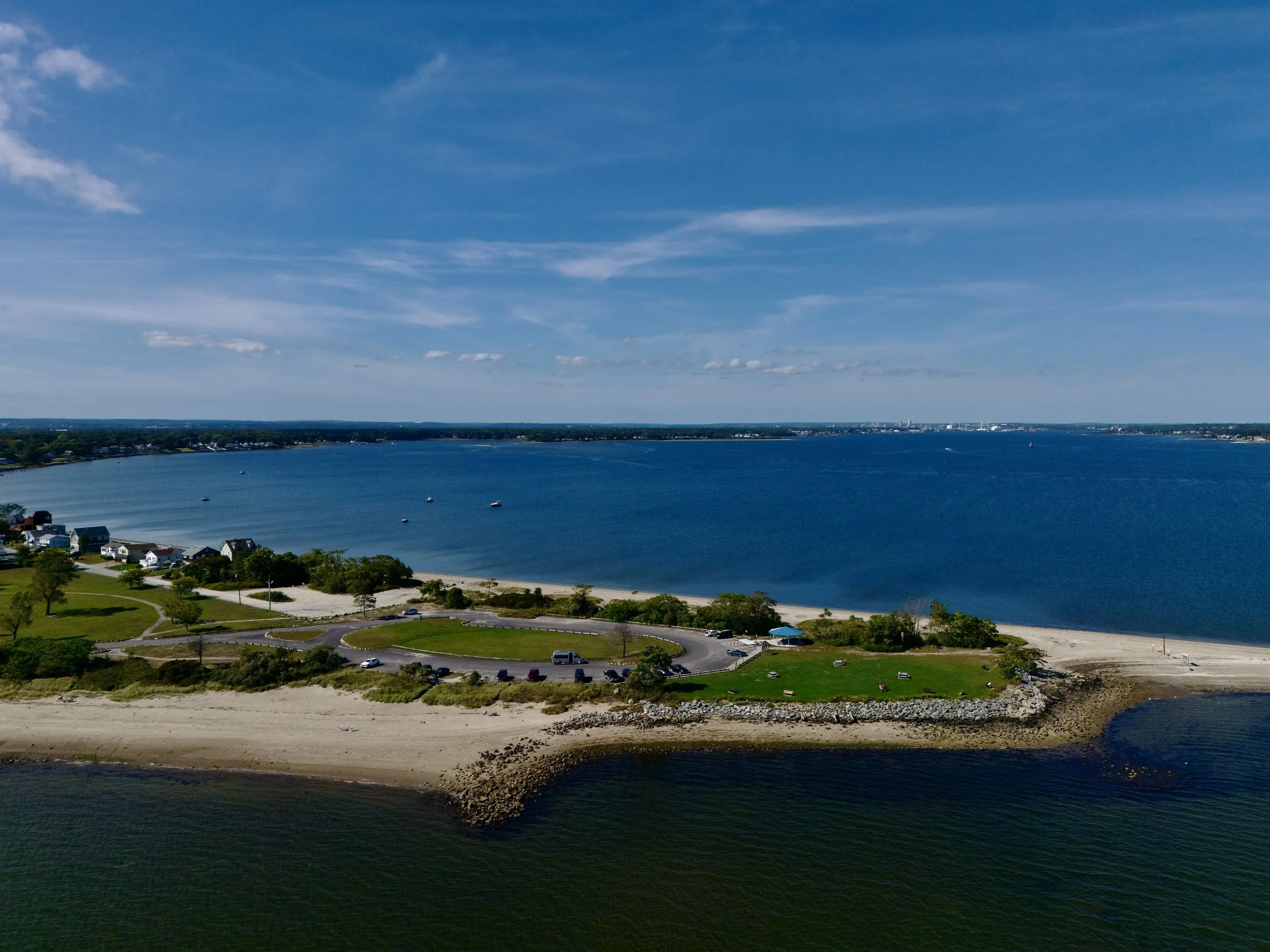
Drone video of Conimicut Point Beach, the lighthouse and ocean in Warwick, Rhode Island.
Sunset at the Mt. Hope Bridge in Rhode Island. Aerial drone photography videography
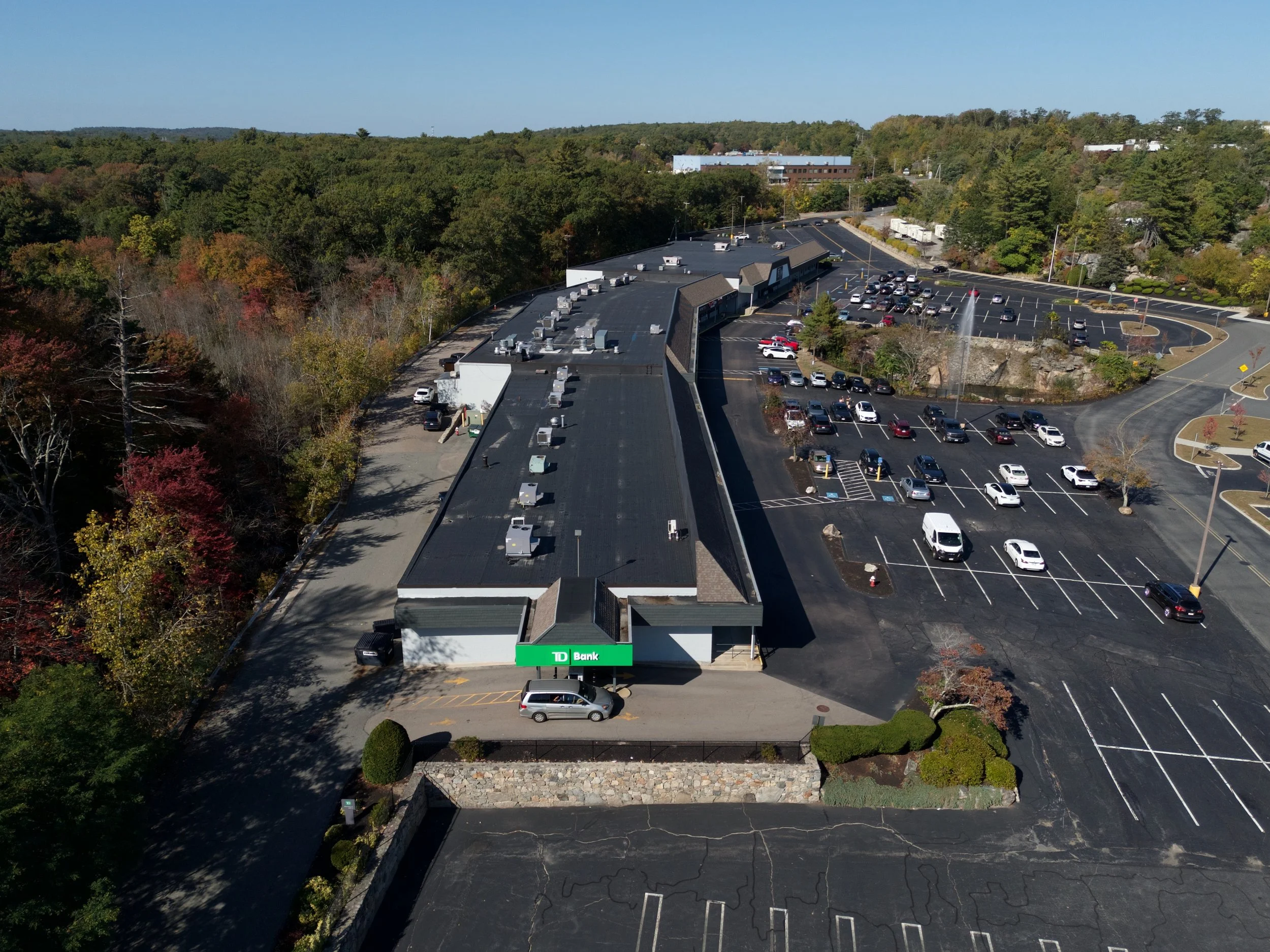
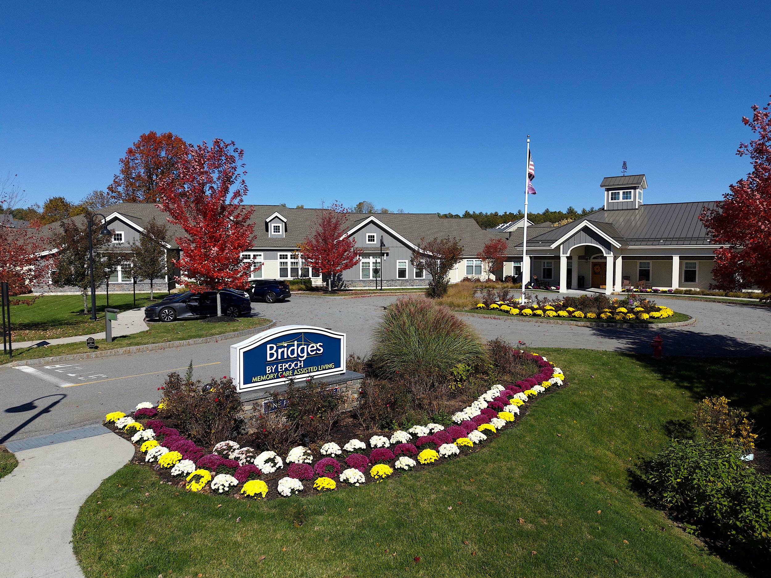
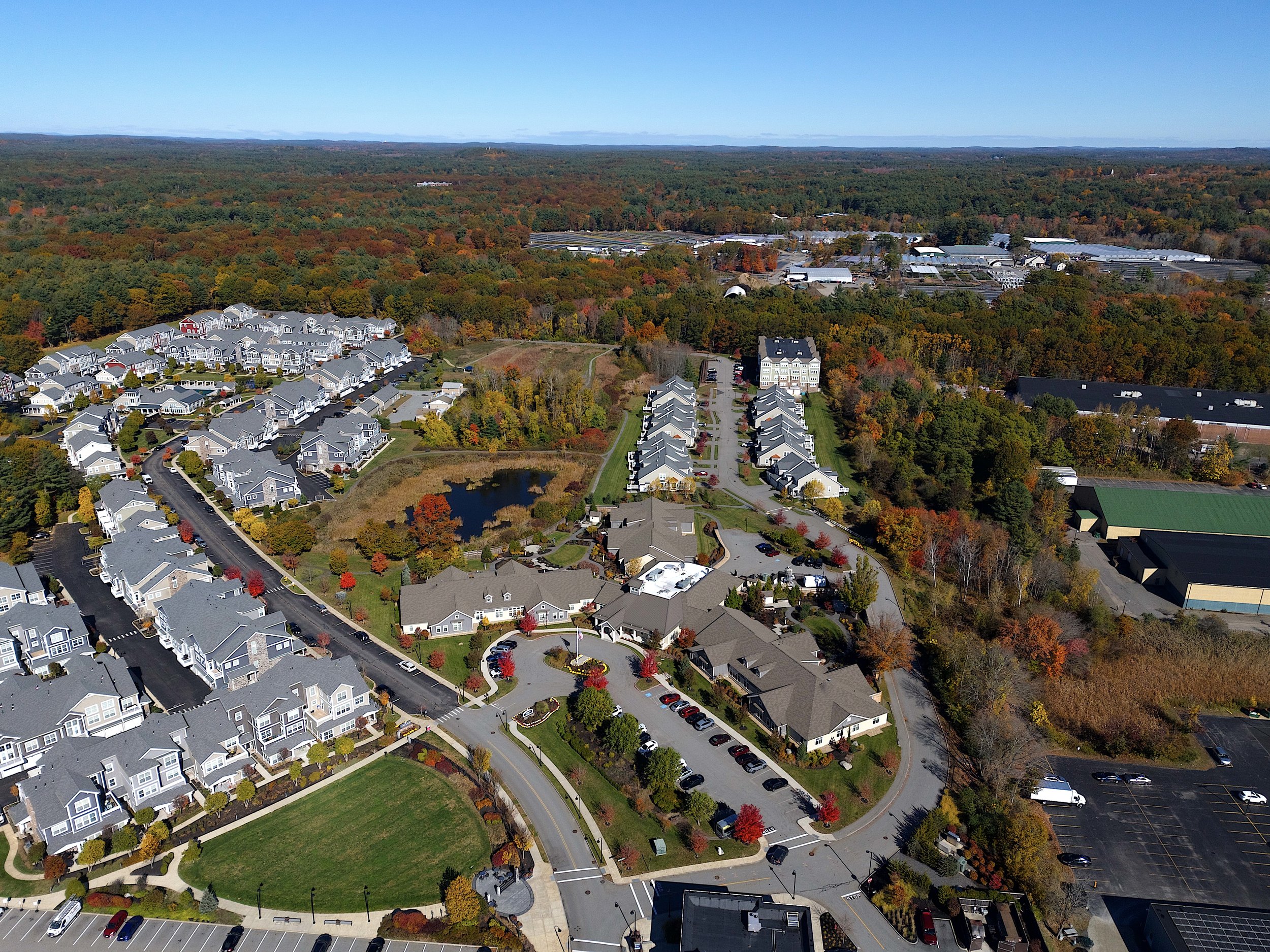
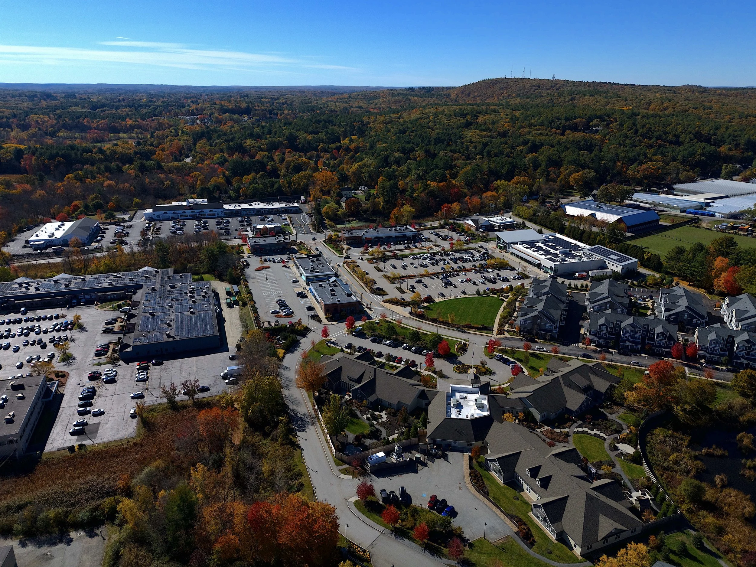
Promo video for the Holy Trinity Nursing & Rehabilitation facility in Worcester, Massachusetts. Aerial drone photography and vidoegraphy
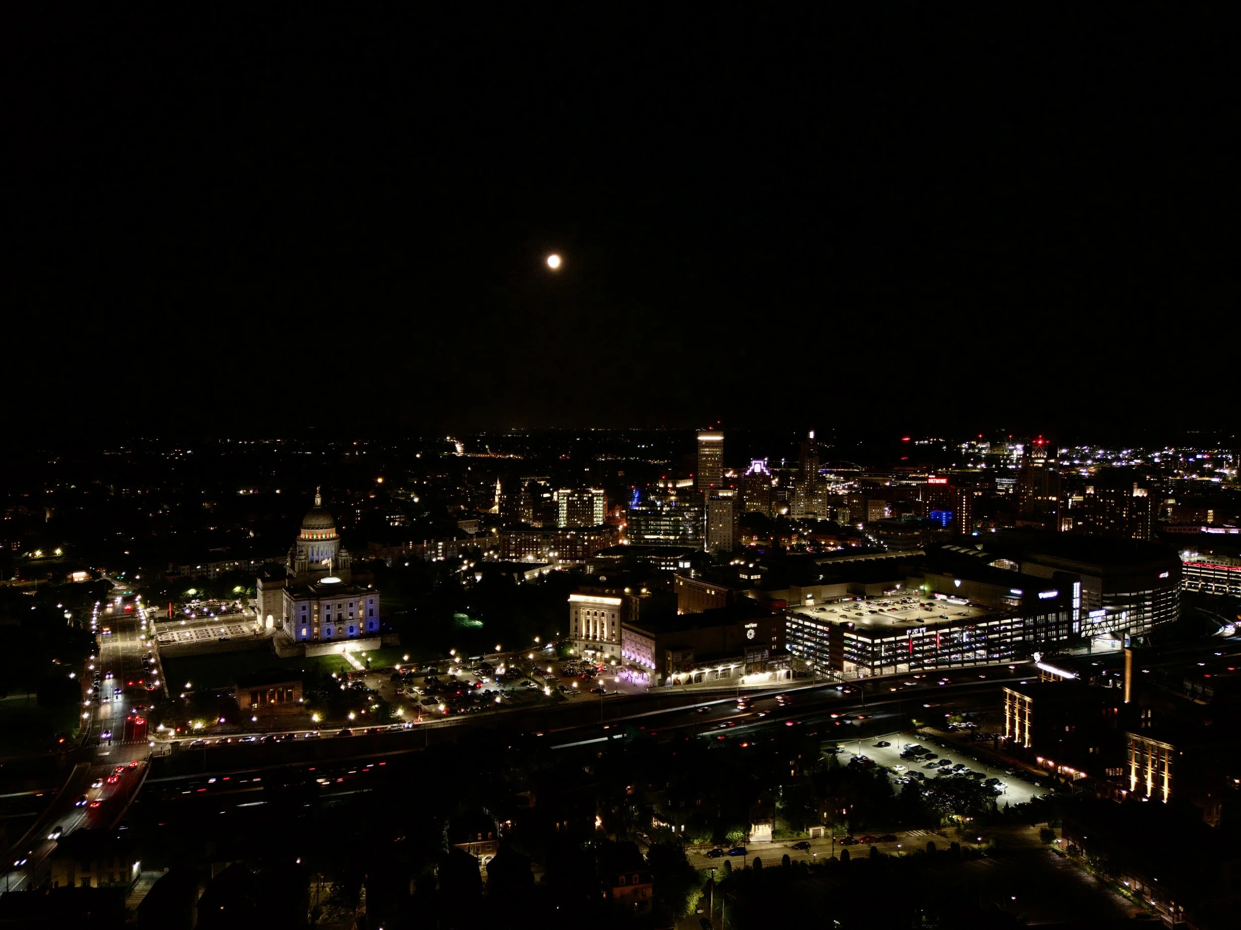
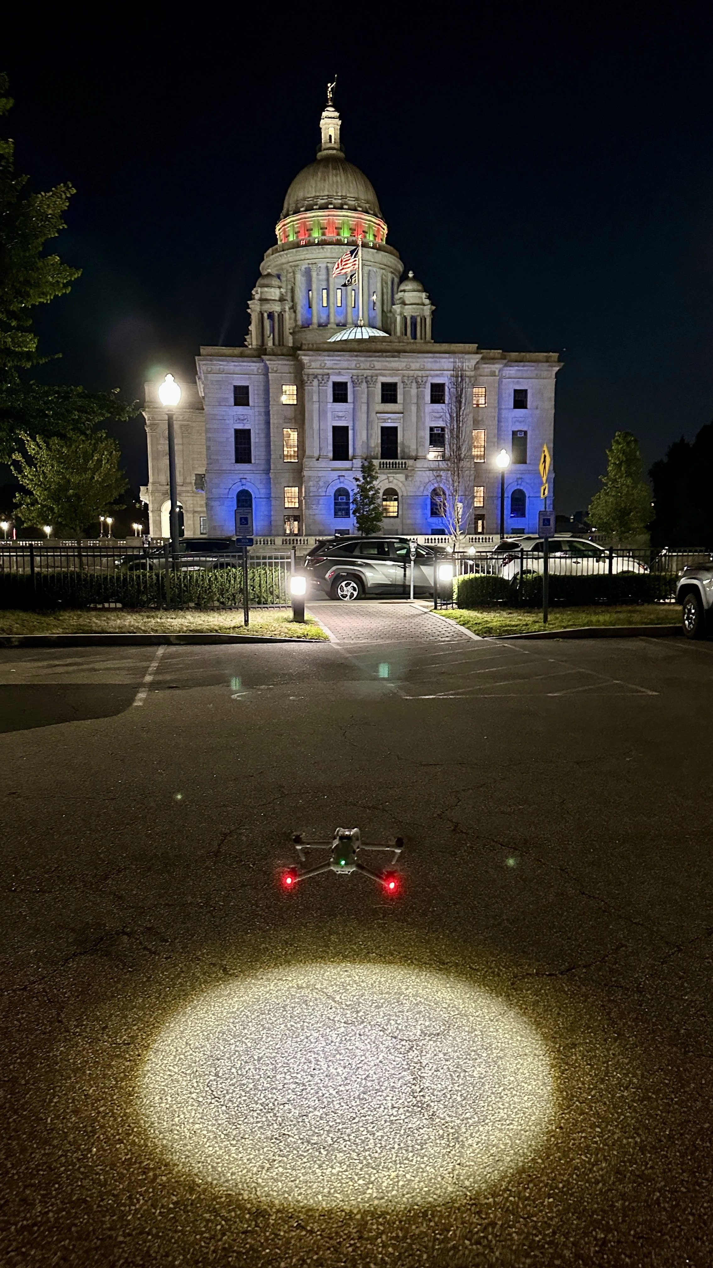
Flying over the Rhode Island State House in Providence during a full moon. Aerial drone videography and photography.
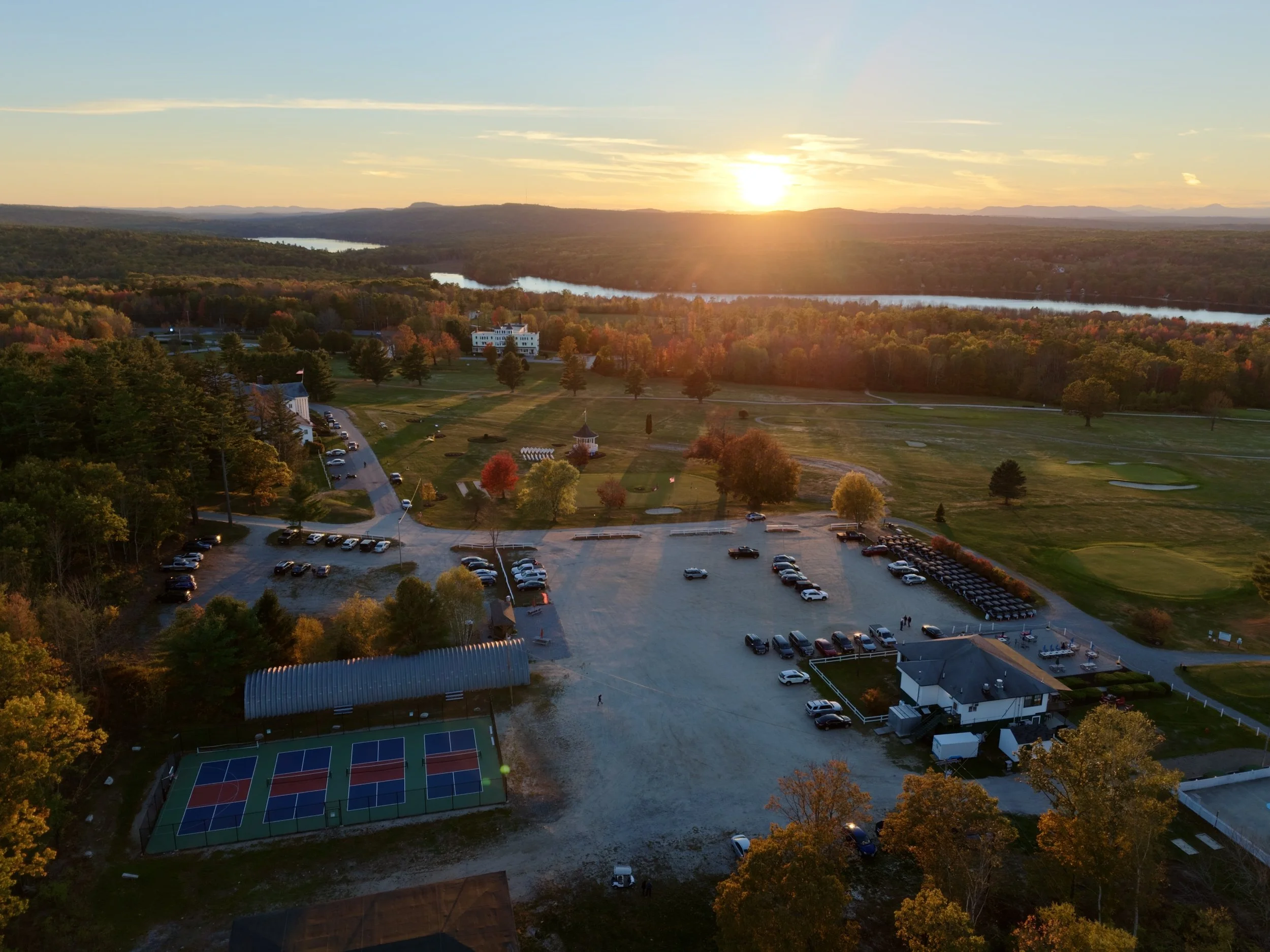
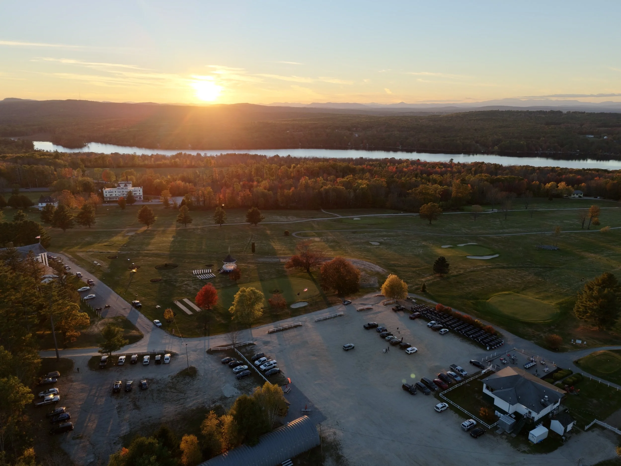
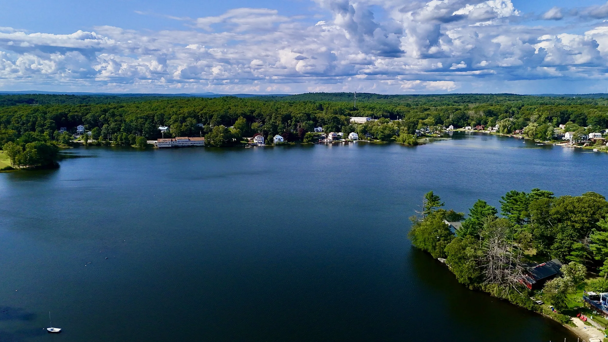
Aerial video of the sunset at Poland Spring in Maine. A lake, mountains and beautiful foliage are seen in the drone footage.